 KiteJump
Pre-order now and become a beta tester
KiteJump measures your kitesurf jumps: height, airtime and distance – on the watch, in the app and in your videos. Now our own hardware is coming. Help us test it and secure one of the first devices.
Pre-order now Import sessions now 47 beta spots left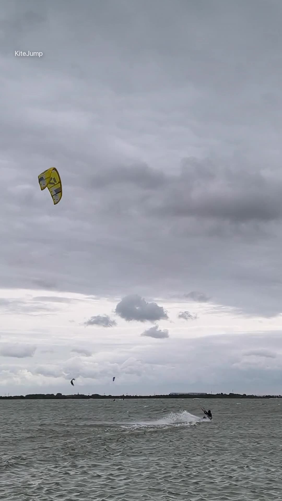
Jump height to within 3 cm
20 measurements per second with correction data. Real jumps from one session. Pick a jump and move over the curve.
Zoom on the peak
Every dot is a measurement. The band shows ±3 cm – the curve stays inside.
Height accuracy
RTK and GNSS: height accuracy computed by the receiver, median (light: 90 % of measurements), same session. Doppler: deviation of the peak height from RTK, median over the session's jumps.
with RTK – about the thickness of your board.
Doppler alone, without correction data: median distance of the peak height from RTK. That's how accurate the sensor is even without RTK.
Your sessions import them now
You don't need a new device to get started. KiteJump takes over your existing sessions with every jump, for free.
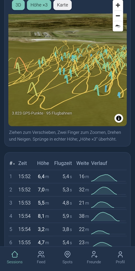
Every jump as a 3D flight path
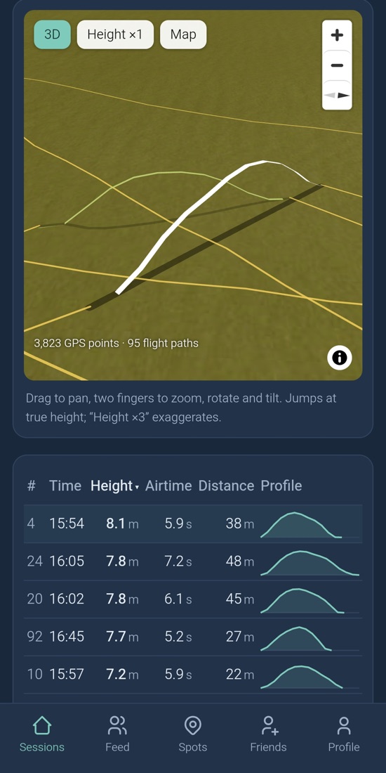
A real session with 101 jumps, coloured by height. Drag to rotate, scroll or pinch to zoom, tap a jump for its numbers.
Ground path from GPS track, take-off and landing point, height from the measured jump profile. This session comes from Surfr – this is how your imported Surfr data looks in KiteJump.
The watch only guesses
A watch on your wrist only feels acceleration. It can't see the height the kite pulls you up – especially big jumps are clearly underestimated.
From acceleration alone the watch misses many jumps. Long, smooth flights look like riding to it.
GNSS measures position and velocity directly – even while the kite is pulling you. And every sample comes with its computed accuracy: for every jump you know how far it can be off at most.
Height, flight curve and airtime in your video
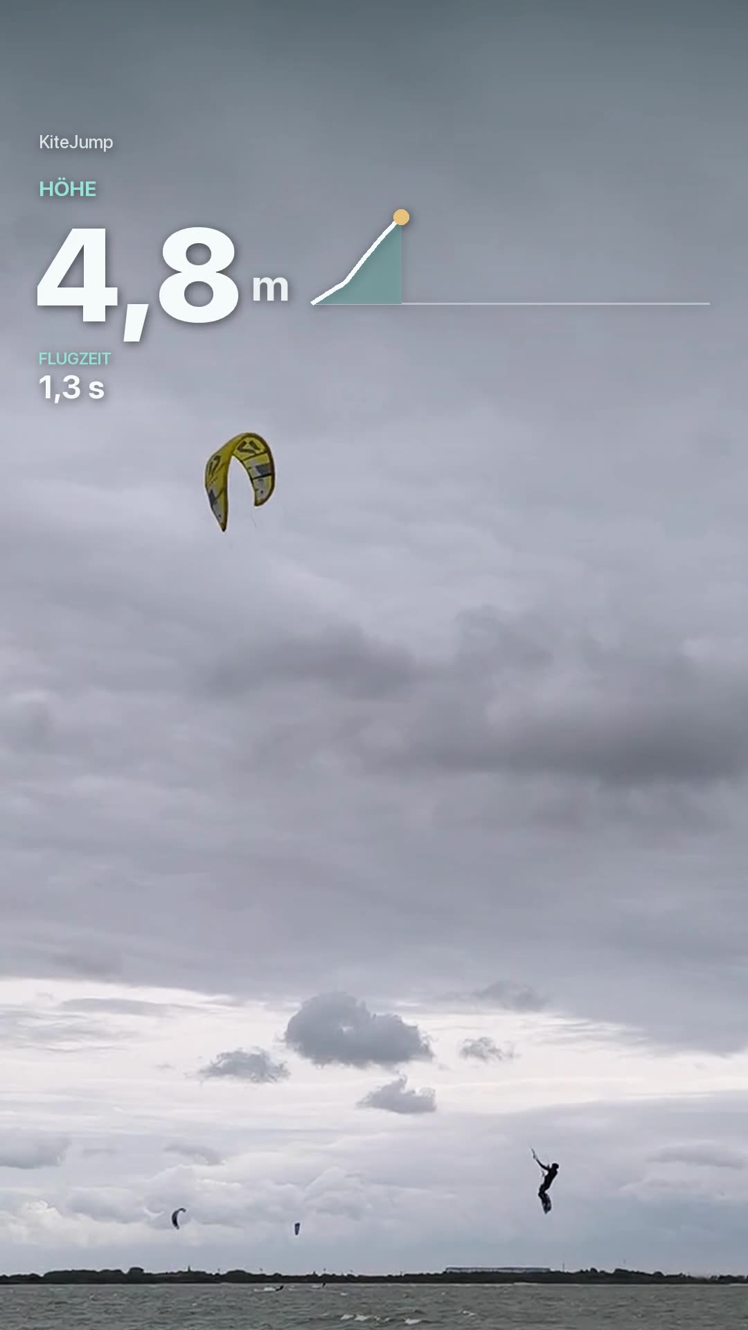
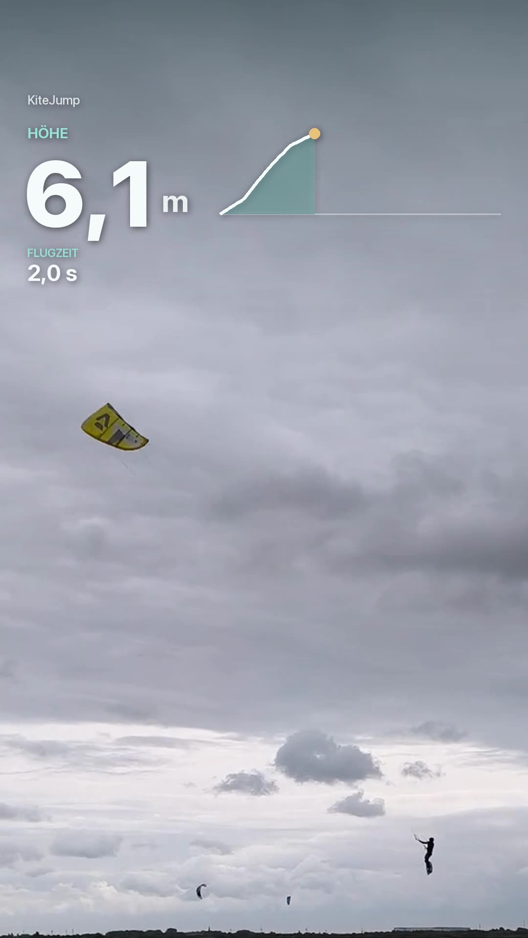
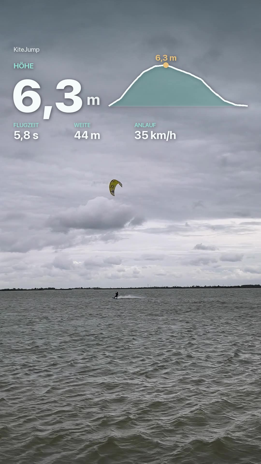
The app finds your jumps in your phone video and overlays the real measurements: height counts up, the curve draws itself, then the result card. Real frames, data from Surfr.
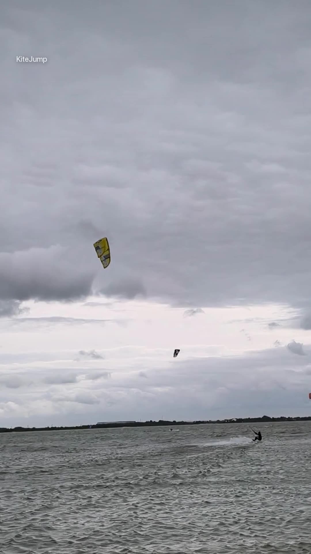
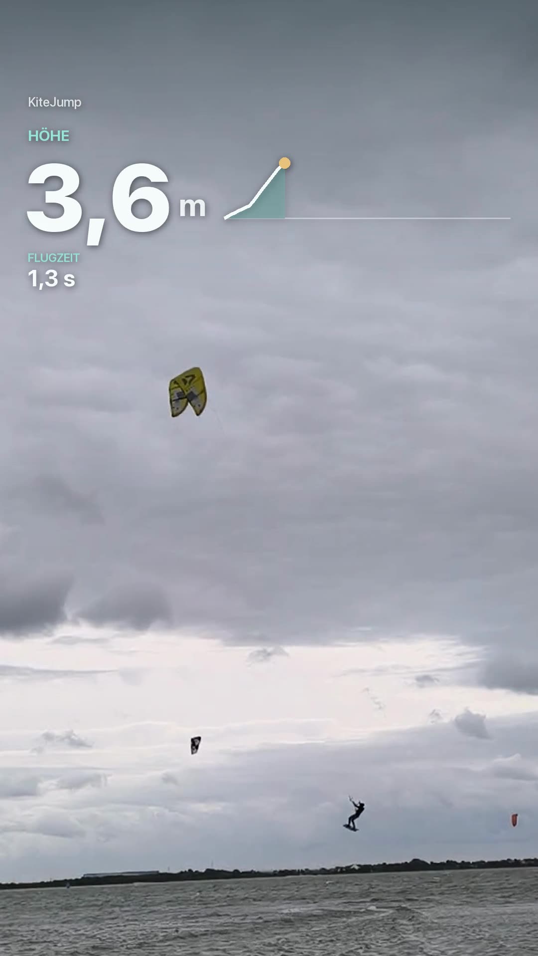
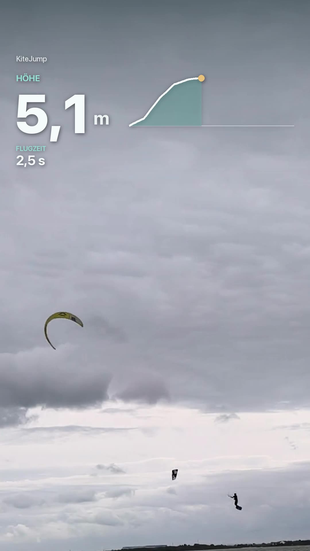
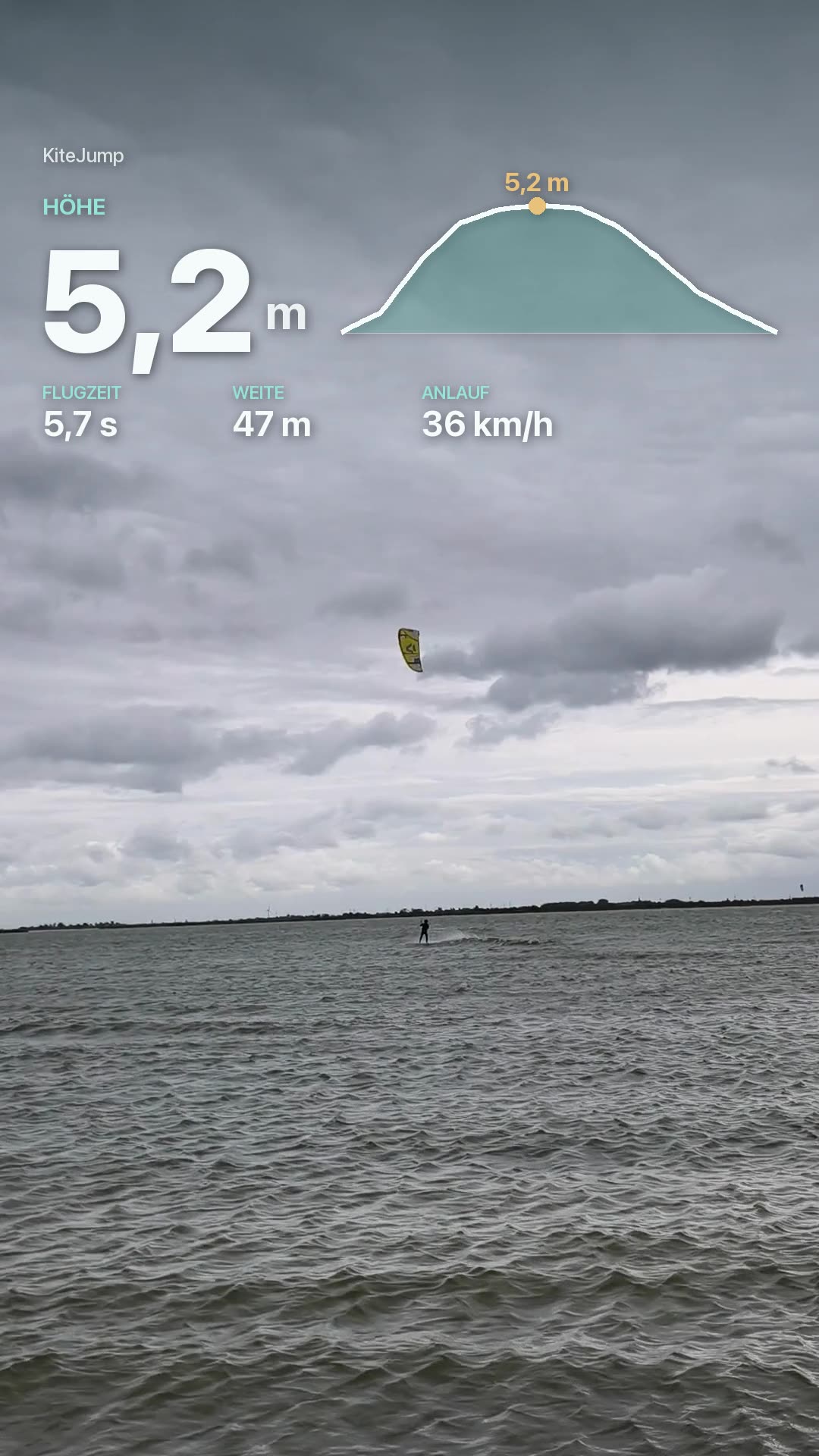
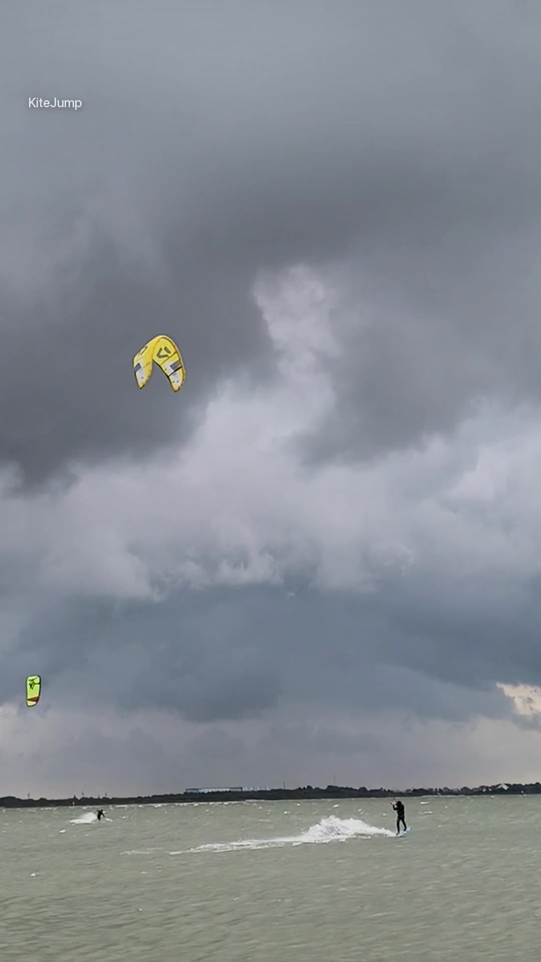
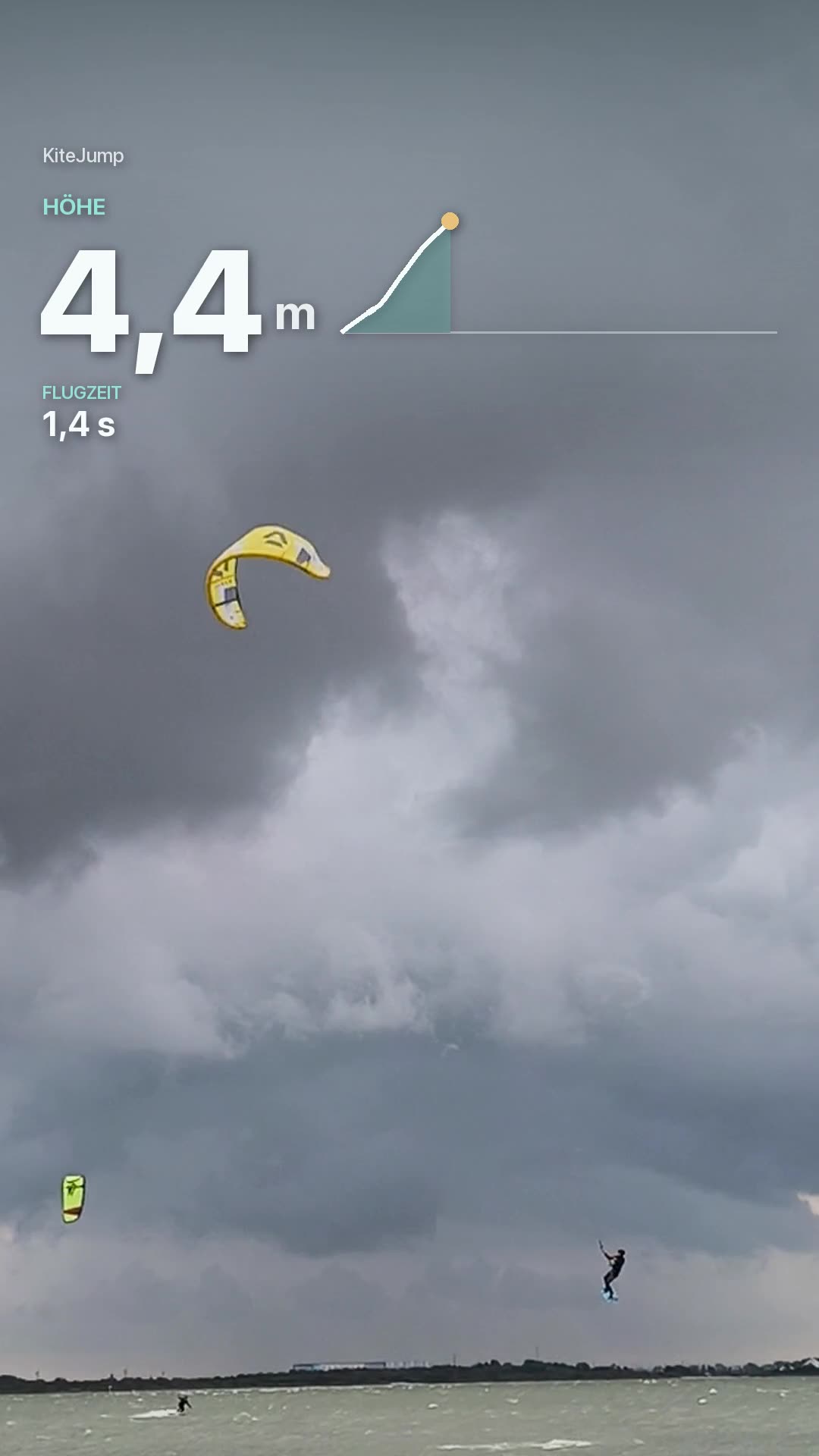
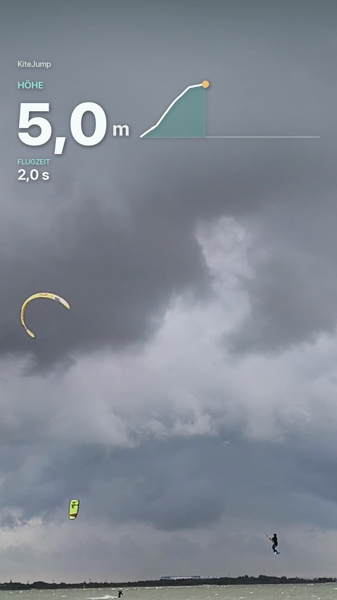
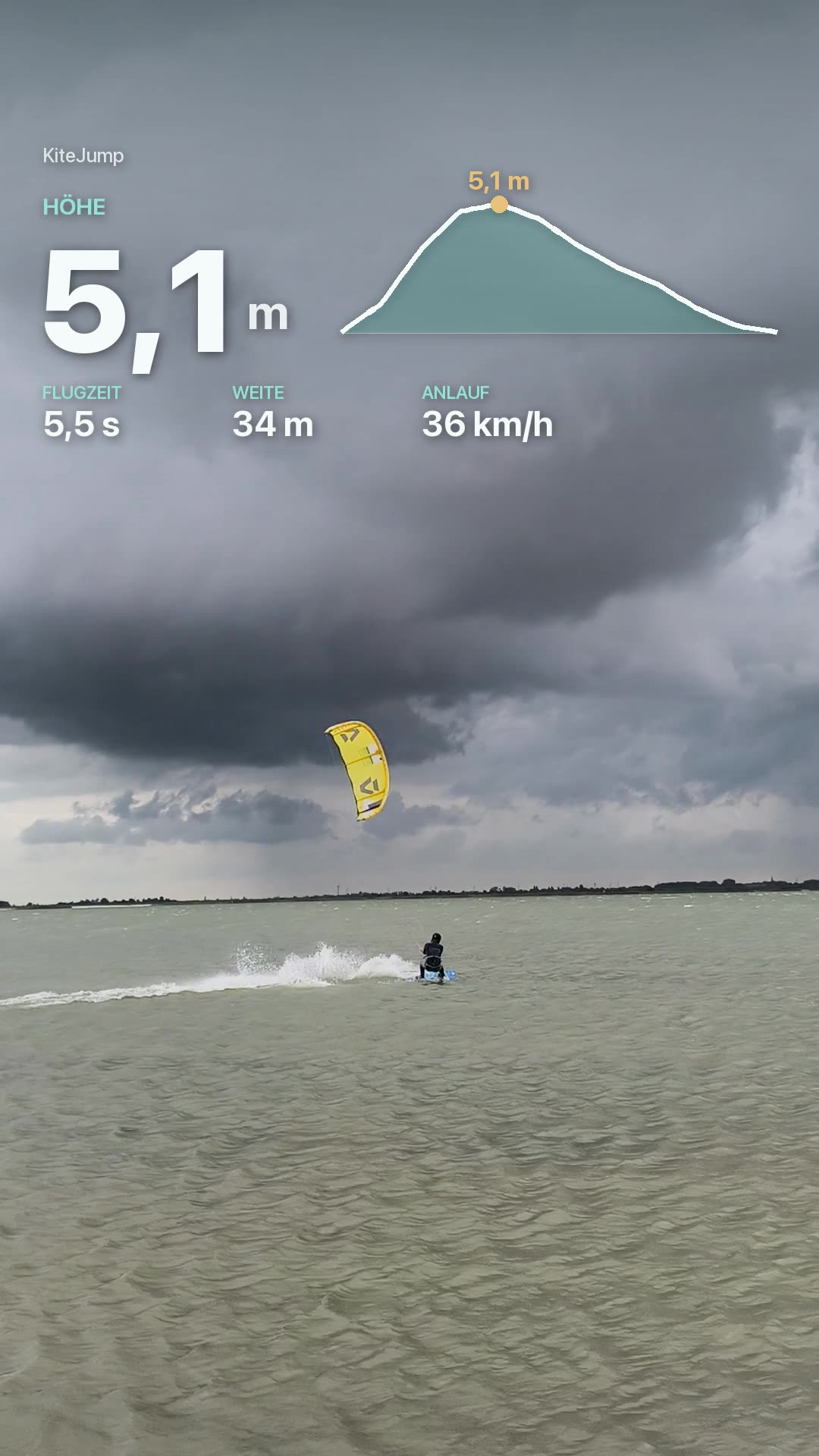
Put the flight path over your video
KiteJump exports every jump as its own 3D clip. Lay it over your video in InShot or CapCut – in three steps. All real frames.
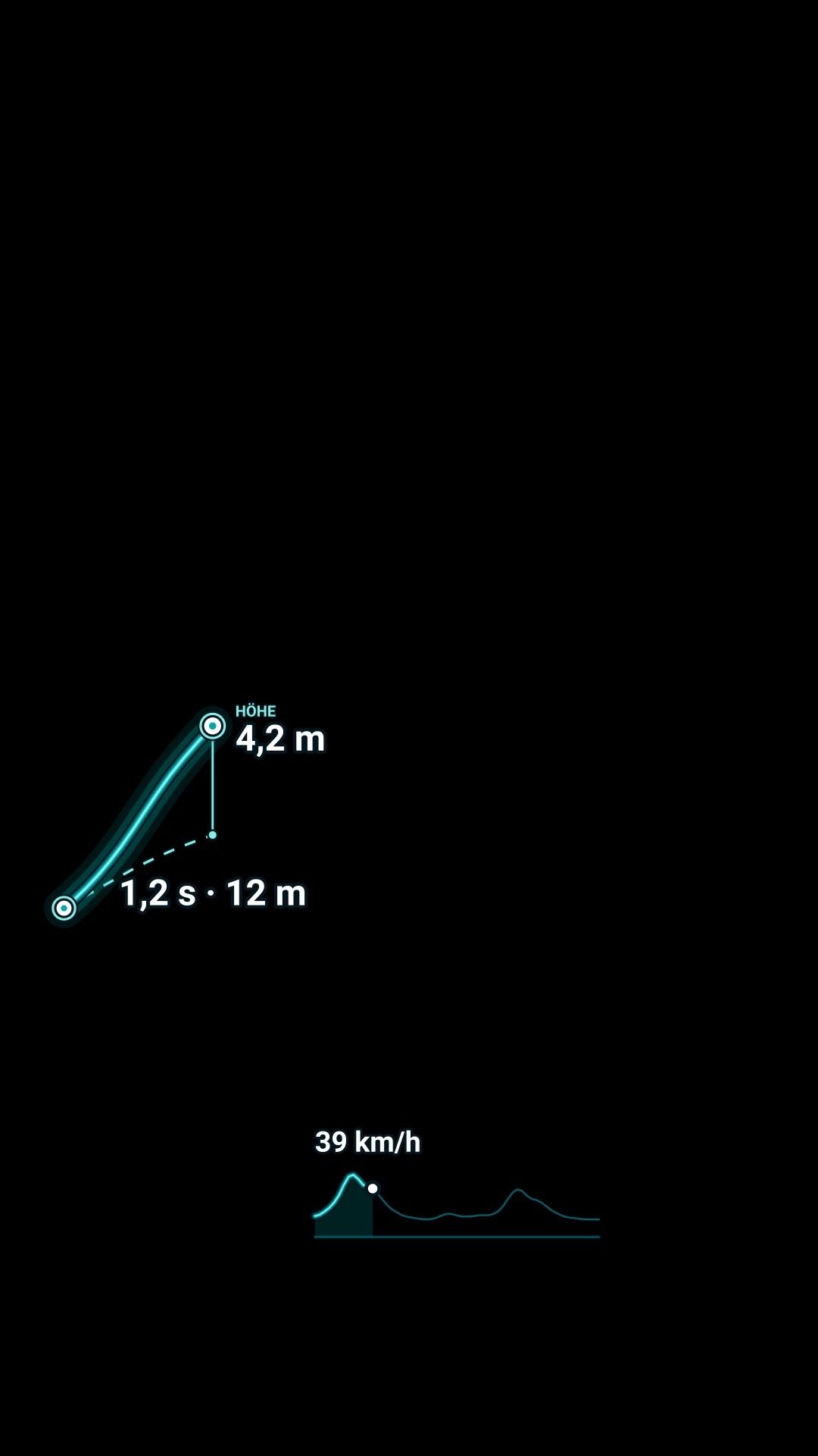
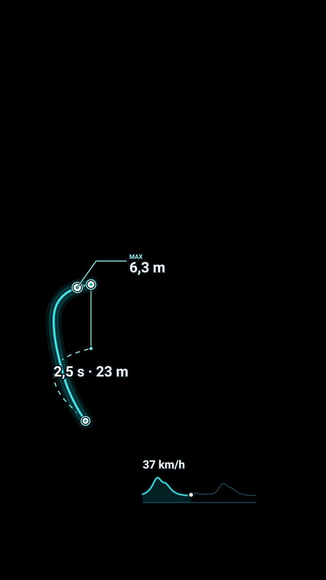
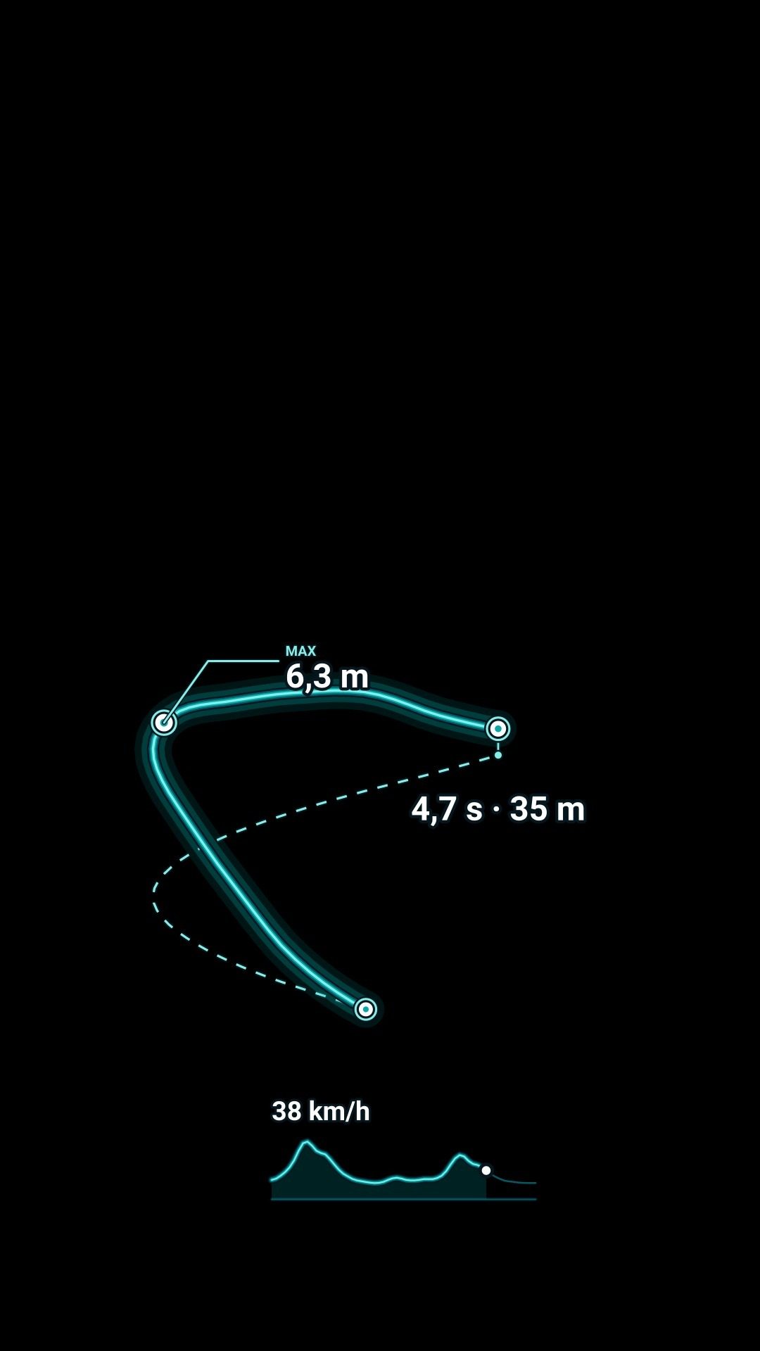
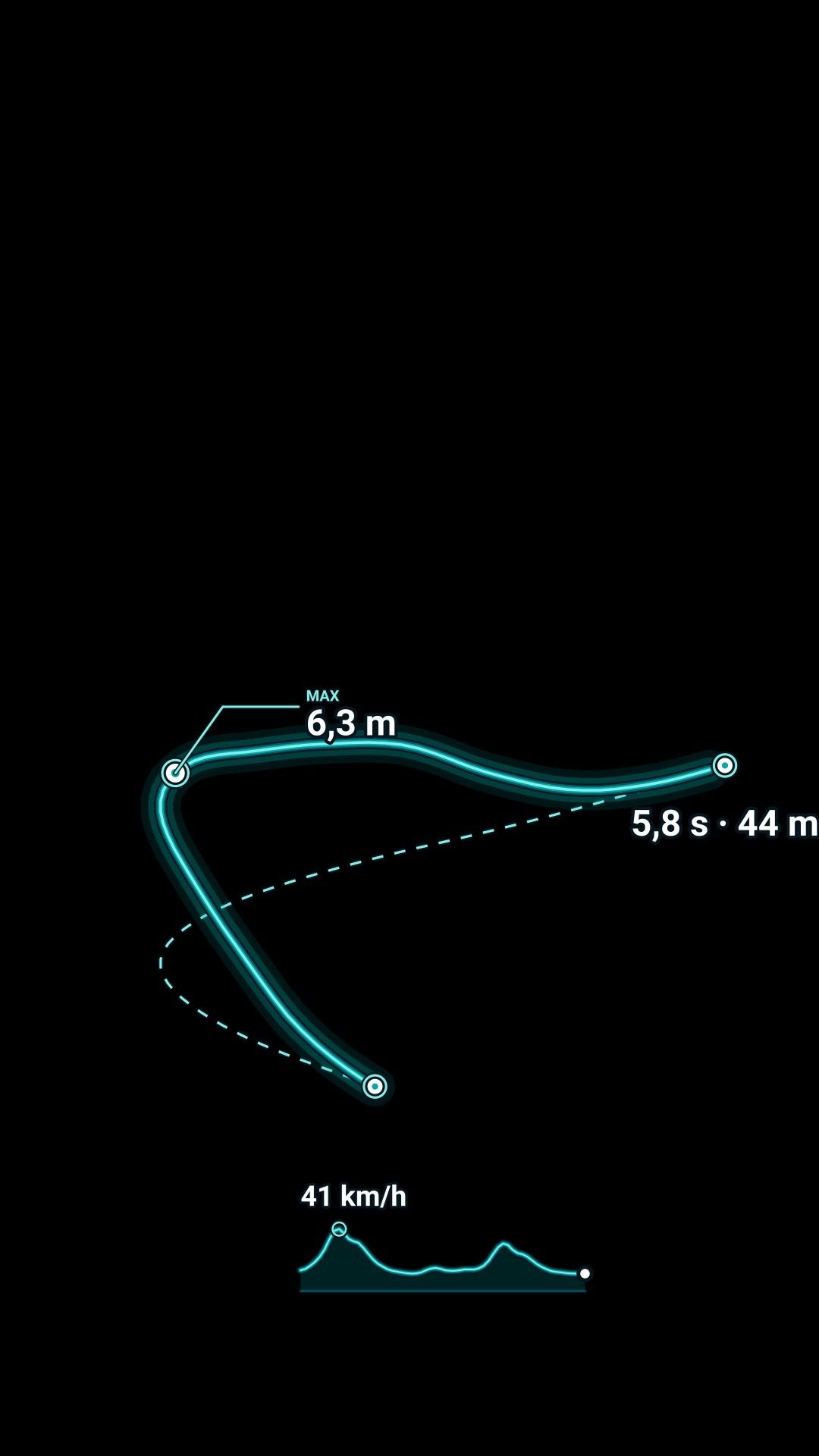
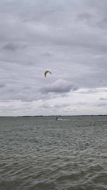
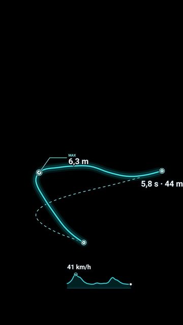
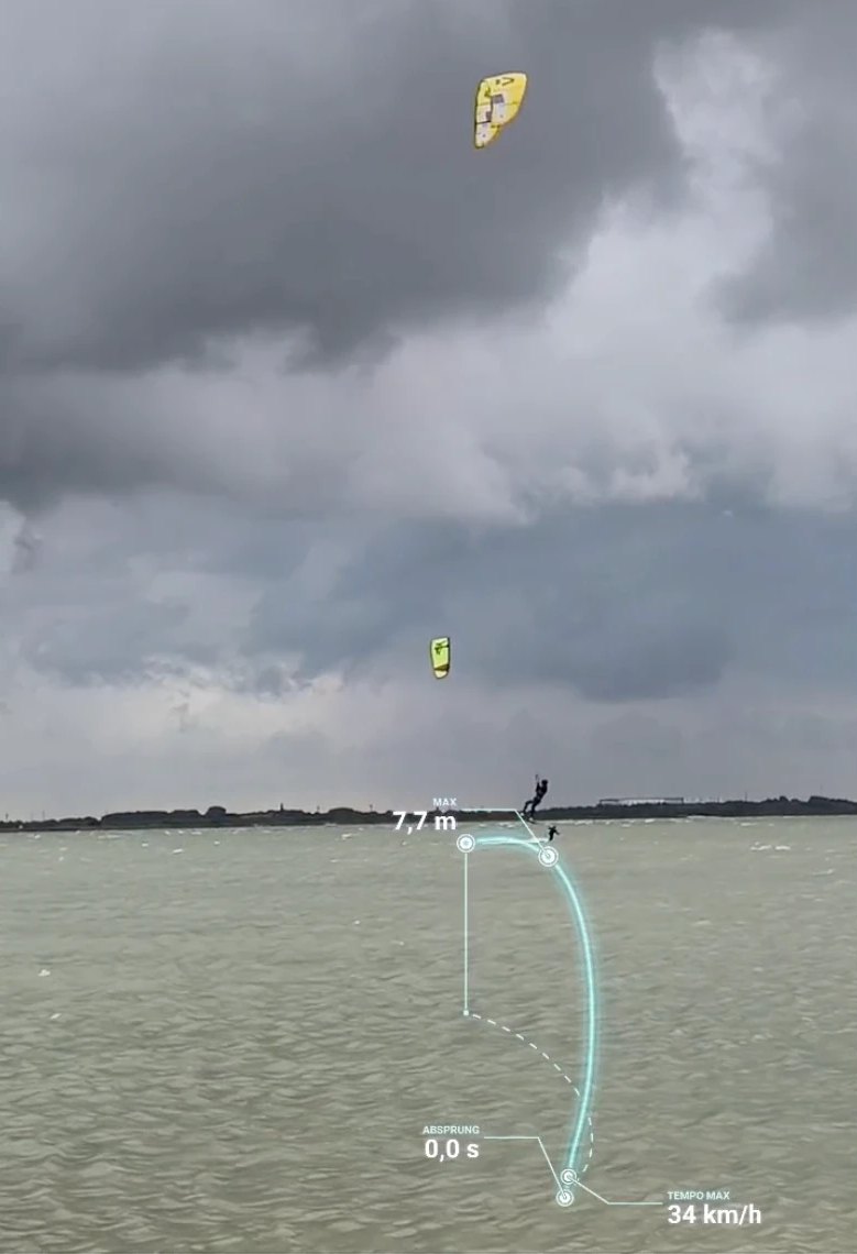
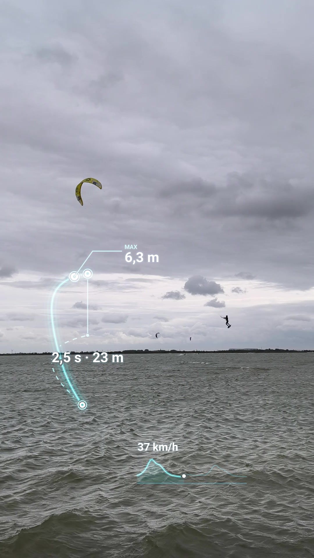
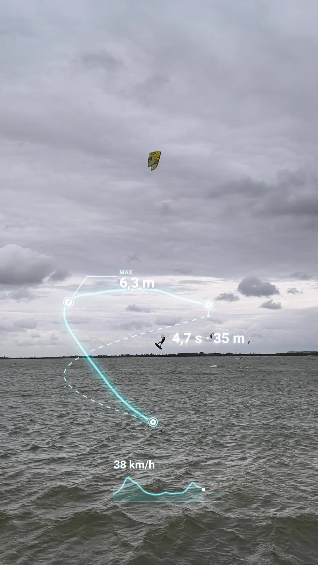
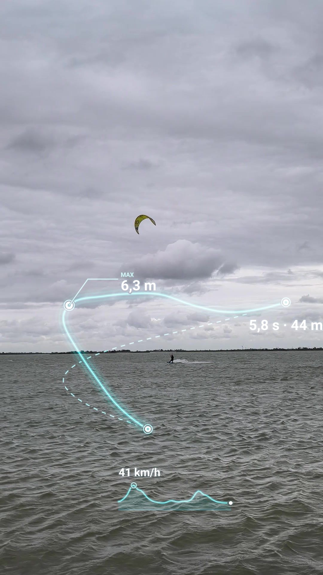
The 3D tile comes as its own razor-sharp clip: add it as picture-in-picture, scale it down, normal blend mode. Without an editor, the app also renders the overlays straight into your video.
Log book, 3D map, every jump
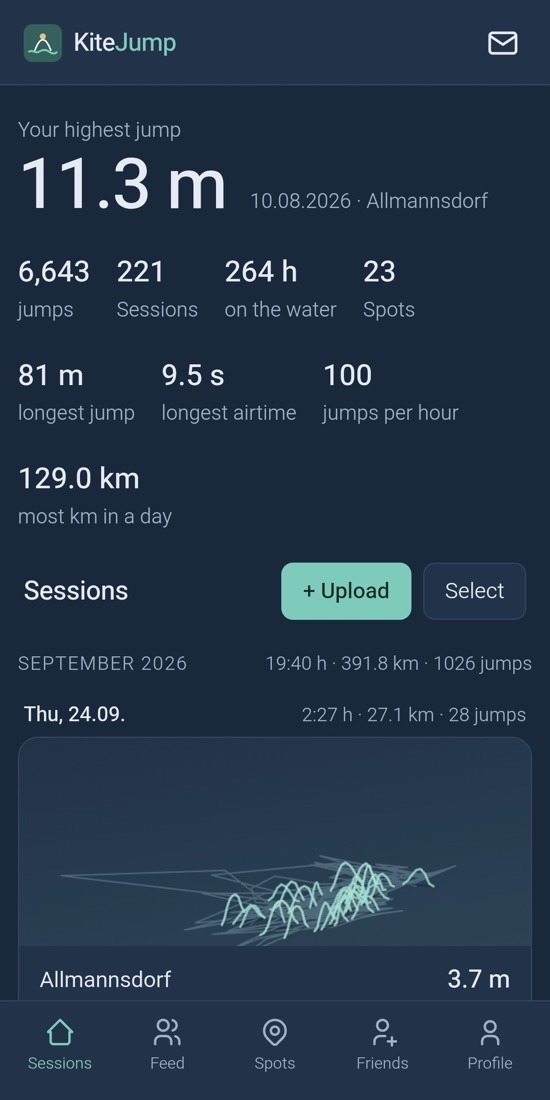
What KiteJump can already do
- ⌚Jump detection on your Garmin watchOur own Connect IQ app: height, airtime and distance live on your wrist, upload straight from the watch.
- 📈Every jump in detailHeight curve, satellite map and 3D view, log book with personal records and training load.
- 🎬Video with jump dataThe app finds your jumps in your phone video and overlays height and flight curve – up to 4K in the Android app.
- 📍Spots and leaderboardsSpots with opt-in leaderboards, friends, feed, comments and messages.
- ⇪Bring your old dataUpload FIT files from Garmin, Surfr and WOO (via Garmin), or import straight from the watch via USB in the Android app.
- 📡Sensor prototype with RTKCentimetre-accurate jump height with correction data, connected via the Android app, updates via Bluetooth.
Free, no ads. You can download or delete your data at any time.
What's planned
- 🎯KiteJump sensorSmall, light and waterproof, wireless charging – optionally with RTK to 3 cm.
- ✂Automatic highlight clipsYour best jumps with overlay, ready in portrait format for Instagram and TikTok.
- 🌬Spot insightsWhen does which spot work? Learned from real sessions: wind, direction, water level.
- 🏆Kite schools and eventsLive leaderboards for contests and progress tracking for schools.
As a beta tester you have a say in what comes first.
The KiteJump sensor
A small, waterproof GNSS sensor, charged wirelessly, connected via Bluetooth to app and watch. It comes in two accuracy levels:
GNSS · about 10 cm
Guide price about €200- Height from satellite velocity (Doppler)
- No correction data, no phone needed
RTK · 3 cm
Guide price about €300- Centimetre-accurate with correction data (NTRIP)
- Needs an Android phone with mobile internet nearby
Today the sensors work with Garmin watches and the Android app. Whether Apple Watch and iPhone follow depends on how many of you use Apple devices – let us know in the form.
Pre-order now
Secure a free spot for one of the first devices.
- The reservation is free and non-binding. You can withdraw it at any time with a short email.
- We'll tell you the price and delivery date before shipping – only then do you decide whether to buy. We're aiming for the 2027 season.
- The number of beta spots is limited; reservations are served in order.
- As a beta tester you get early firmware and app versions and send us your feedback.